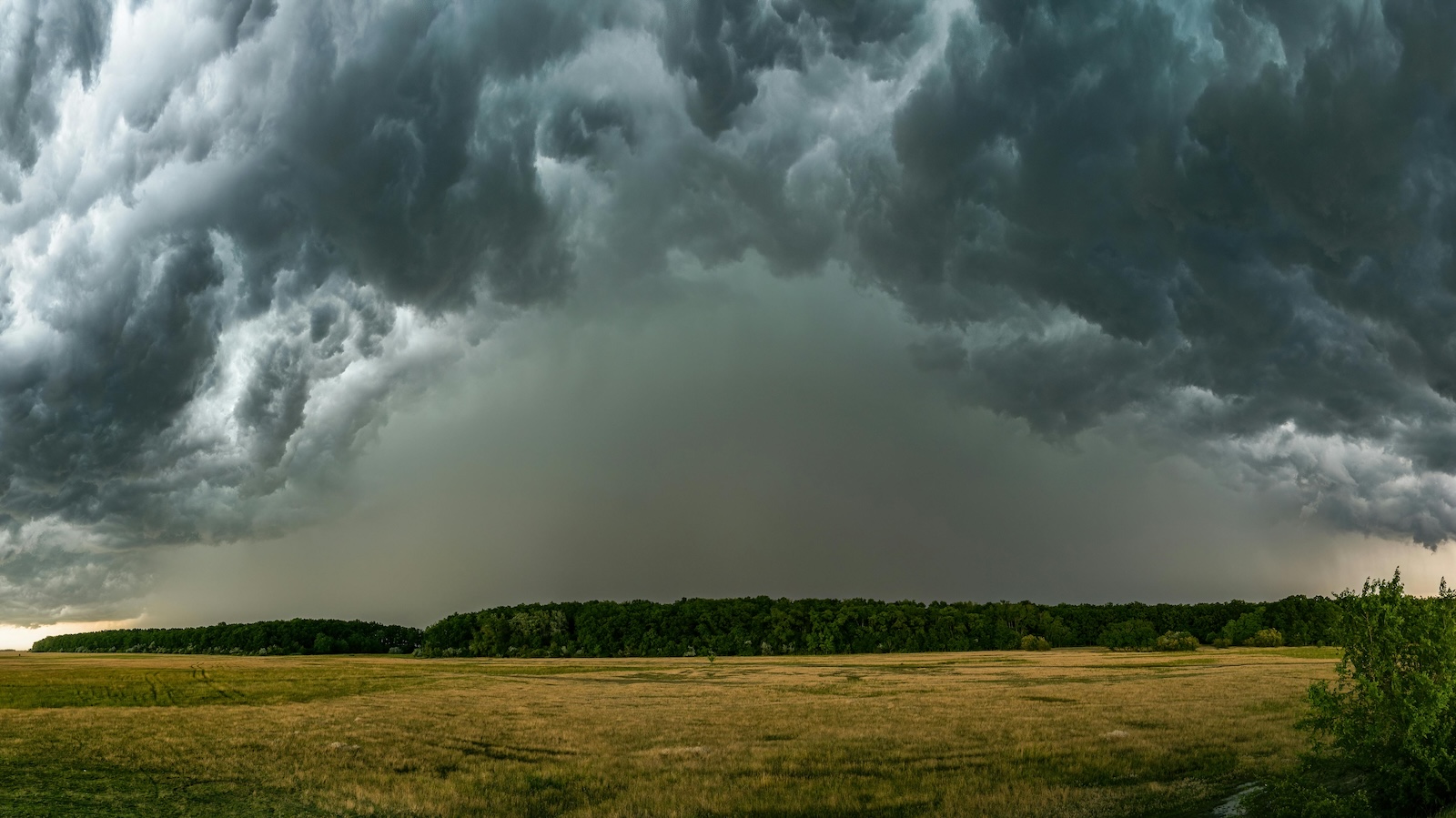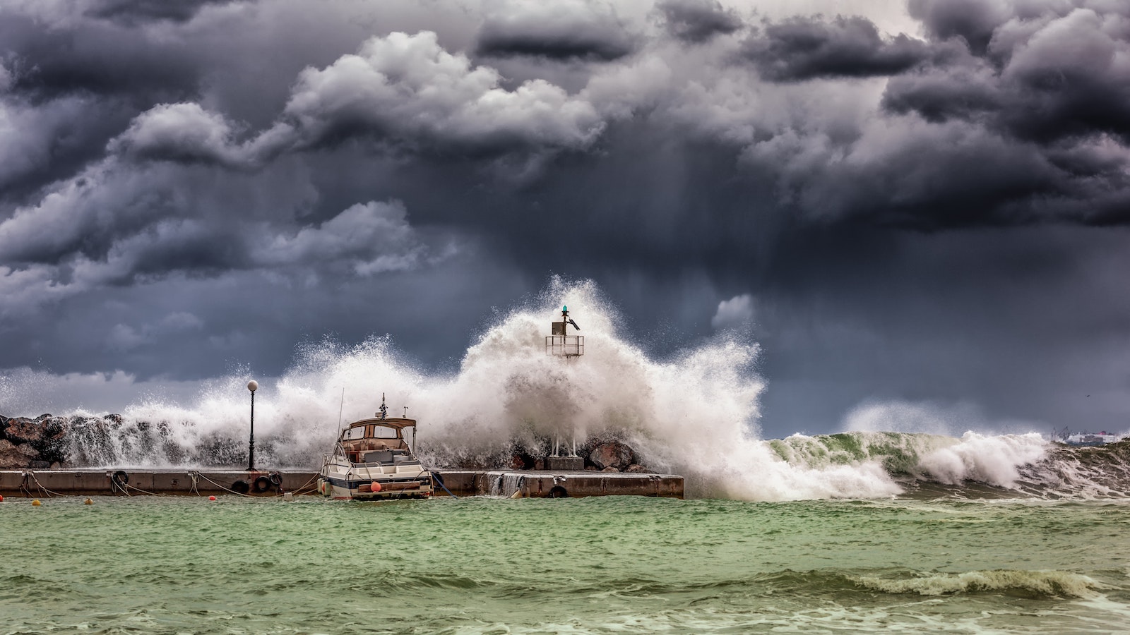
Until Hurricanes Fiona and Ian, the 2022 hurricane season had seen the lowest activity in the Atlantic in 25 years. There was a complete absence of named storms in August, in contrast to the 10 that occurred that month in 2021. September saw Hurricane Danielle on Sept. 2 and Hurricane Earl on Sept. 6, ending one of the longest streaks without a hurricane in the North Atlantic in recent history. The deadly destruction caused by Hurricane Fiona in Puerto Rico and the Dominican Republic, and the devastation to Southwest Florida by Hurricane Ian in late September quickly changed an otherwise quiet season. Initial estimates indicate that Hurricane Ian may be the costliest Florida storm since 1992’s Hurricane Andrew and could cost insurers up to $47 billion.
Earlier forecasts had called for an above-average hurricane season in the Atlantic. The drivers for the high-activity forecasts were the three-year La Niña weather pattern, which minimizes wind shear, as well as above-average sea surface temperatures (SSTs). Wind shear actually decreases hurricane activity. These forecasts were correct, but more nuanced and volatile (and therefore more difficult to predict) factors have dominated activity in the North Atlantic so far. High SSTs usually lead to evaporation, and the resulting moisture fuels tropical cyclone development. However, with hot and dry Sahara dust billowing into the main development region (MDR) over much of the summer; the air has simply been too dry.
The North Atlantic has also seen a high level of wind shear, especially over the Caribbean, which is unusual for a La Niña year. Despite SSTs in the MDR and Caribbean currently being above average, SSTs across the North Atlantic are showing some complex patterns. In particular, extremely warm waters along the coastline from New York to Newfoundland have affected the jet stream, indirectly sustaining the flow of dry air into the MDR.
We should not be surprised that activity is finally picking up. Historically, there have been more major hurricanes in September than any other month. We have seen examples in the past of intense hurricanes occurring after sluggish starts to the season, as well as some particularly intense hurricanes striking after the official peak of Sept. 10. Superstorm Sandy hit the Northeast at the end of October 2012. and Hurricane Michael made landfall in the Florida Panhandle in mid-October 2018 as a category 5 major hurricane.
See also: Is Hurricane Ian a Turning Point?
Although Superstorm Sandy in 2012 was downgraded to a post-tropical storm just before landfall in New Jersey, its record size contributed to the considerable damage it caused. Sandy managed to sustain its size and strength due to the high SSTs along the U.S. East Coast at the time, not unlike the current situation. More recently, in 2020, major hurricanes Eta and Iota made landfall in Central America during November, not long before the official end of the season (Nov. 30).
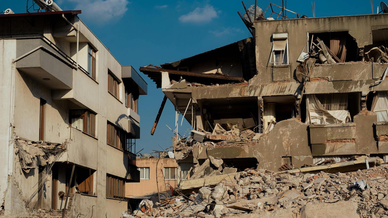
As the North Atlantic hurricane season typically experiences a secondary peak around mid-October, businesses need to remain vigilant about protecting their premises and people, even in a relatively mild hurricane season.
A single storm can cause catastrophic damage locally, and the National Hurricane Center in the U.S. advises that emergency preparedness plans should not be based on seasonal forecasts. When a hurricane watch is issued for your area, you need to "Know Your Zone" (vulnerable areas will be given an evacuation warning or order) and be aware that authority-ordered evacuation is based on the possibility of storm surge and flooding, rather than pending landfall of a storm.
To minimize losses in the event of an extreme weather event, businesses should implement a written emergency plan, including actions to take before, during and after a storm. The plan should cover areas such as training, emergency supplies, business continuity, building inspections, anchoring or relocating equipment and stock, protecting windows, flood protection, salvage and recovery and damage assessment.
Allianz has created specific checklists to assist businesses before, during and after extreme weather events that can be found here: Allianz Windstorm Checklist and Allianz Flood Checklist.