One of the things I have always loved about working in insurance is that it is hardly ever boring. It’s an industry that offers you the space to learn and grow, and taking advantage of this opportunity is not just to your benefit, but to the consumer's, as well. This is especially true when it comes to how emerging technologies can help you more accurately predict a policyholder’s risk profile and set rates accordingly. A perfect example is geospatial technology (GIS).
With the climate changing, severe weather occurrences are leading to increased levels of risk for insurers across the country (with some regions affected more than others). GIS allows for more accurate risk assessment, going even deeper than ZIP code level.
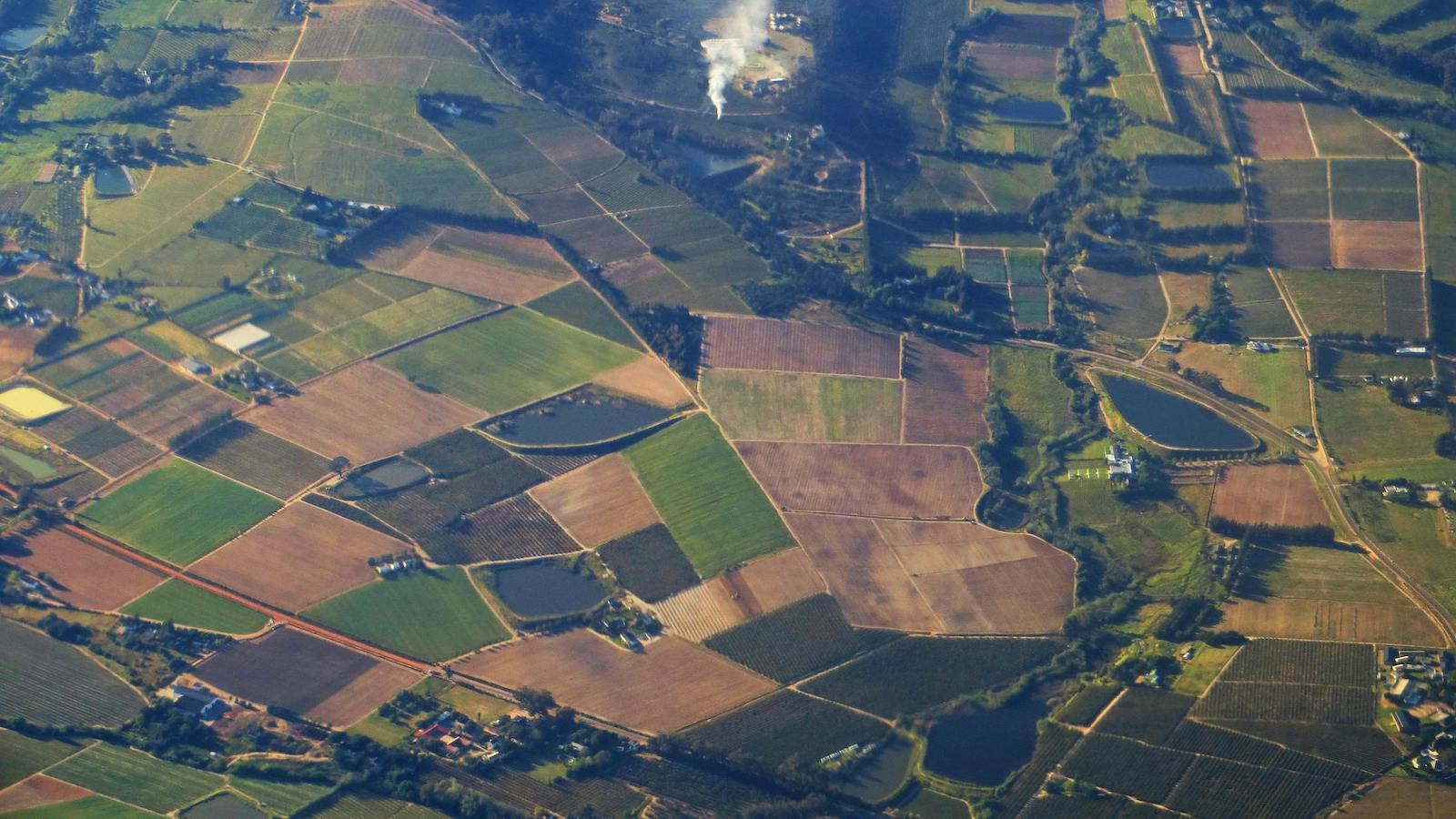
Climate change and insurance
In 2023, Florida, Texas and Louisiana experienced the most hurricanes, and these severe weather occurrences inevitably led to insurance losses. According to Rate Retriever’s Quarterly Rates Update, these three states were – unsurprisingly – also among the most expensive for car insurance in 2023.
Instances of severe weather such as hurricanes, tropical storms and tornadoes have been increasing, and premiums (specifically in coastal regions and the Midwestern part of the country) have been skyrocketing as a result.
To remain competitive with the rates we are offering while still protecting ourselves, we need to analyze risk more closely than ever before. GIS can help us do just that through the use of highly specific maps.
See also: How Technology Is Changing Fraud Detection
What is GIS?
In the simplest terms, GIS is the process of understanding severe weather risks through precise mapping. This technology allows for the insurer to analyze and identify certain hazards or catastrophic risks associated with a certain region with incredibly tight precision. This basically allows you to take territorial rating assessments one step further, getting down to a level so incremental it can split one street in half and predict a different level of risk for each side.
We are all familiar with the old way of territorial rating: the tedium of inputting every ZIP code in a particular region or state into an Excel file and going through each line item to assign a specific rating. GIS flips this process on its head by allowing you to scatter plot all your policy locations on an actual map and analyze the risk exposure much more tightly.
This technology also helps you to assess risk in a more real-time manner and work to prevent fraud by not allowing new business quotes to come through your system while a catastrophic event (such as the wildfires that ravaged Texas back in February) is taking place. This makes it much more difficult for individuals in a particular area to game the system by getting insurance only when they know severe weather is coming and they’re likely to have a loss.
The benefit to the consumer
The key benefits that GIS offers to insurance professionals are fairly simple:
- The ability to more narrowly predict risk level by region can help you save money on claim payouts
- This technology can help prevent fraud by exposing potential insureds who are only getting insurance because they know severe weather is coming
- It simplifies the process of territorial rating by being able to visually analyze different regions on a map
There are plus sides of this technology for consumers, as well. By adopting GIS technology, you have the ability to warn your clients of potential losses before they happen so they can act.
While there is nothing you can do to prevent the hurricane from coming, you can keep your clients in the loop on how the hurricane may affect them. With this information, clients can make necessary arrangements to protect their assets and perhaps avoid having to file a claim altogether.
The information you provide to clients introduces an additional benefit for you as an insurer: an increase in client loyalty. If the insured trusts that you have their best interest at heart, they have more incentive to remain a client.
See also: Convergence and the Insurance Ecosystem
The potential of GIS
The possibilities for how GIS can be implemented and utilized are vast. When you’re looking at a GIS map and you’re able to understand where the impacts of severe weather are felt most strongly you have the power to almost see into the future and predict these occurrences before they happen. This allows you a level of protection that has never been possible before.
Artificial intelligence and machine learning technologies also come into play here, enabling you to add the likelihood of an event like a hurricane or a tornado into your modeling service so you can try to understand how these events might affect losses. This likely means that as GIS becomes the industry standard for territory rating, AI and ML technology will become more prevalent right alongside of it.
This kind of technological advancement has the potential to affect your business all the way across the board. It introduces opportunities for automation and deep analytics in underwriting, risk management, claims, business reliance and several other areas.