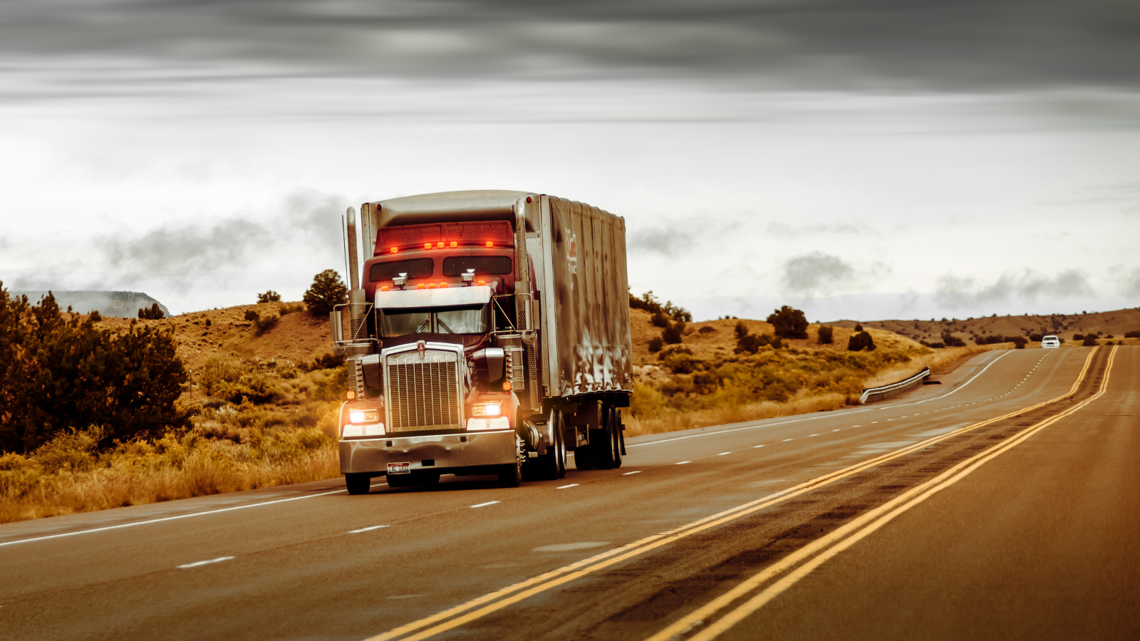
It will surprise many in the industry to find that there are multiple large gaps in weather radar coverage around the U.S. By virtue of how radars work, when storms are viewed on mobile apps or television, the weather that is depicted is often many miles above the surface of the earth, not down at ground level where we live and work. Not having accurate weather data in these areas can have serious consequences. And this has been a big issue for insurance companies, as they serve customers in many regions with unpredictable weather conditions.
Well, we at Climavision are building a private network of high-resolution radars that aims to fill those gaps. The radars will cover the lowest levels of the atmosphere, and many will be in critically underserved areas. The company will combine this radar information with space-based GPS Radio Occultation (GPS-RO) data, which captures details of the upper atmosphere. This newly available data will be ingested into weather models to improve forecasting for carriers, reinsurance companies and even insurance linked securities (ILS).
See also: Unusual Weather We're Having, Right?
For carriers, accurate weather forecasts are important in every market, but many regions lack highly precise forecasts, making it difficult for carriers to set adjuster protocols and effectively plan for weather events. Post-event analysis and future mitigation planning is equally difficult in those blind spots.
For reinsurers, understanding the potential for loss in each region is crucial. Knowing the type and frequency of weather impacts in each region is a necessity for planning insurance risks. This new information will not only provide insights on where storms are in the near term but will also help predict potential mid-term and longer-term threats.
Fund managers will have a better understanding of potential loss due to weather, which should make trading of ILS positions more effective. This additional visibility should contribute to expert-level awareness and allow for more effective communication of the expected impact of weather events to all internal and external stakeholders. For ILS management, constantly calibrating exposure to downside risks is important to trading and projecting confidence in catastrophic events and secondary perils. The ability to accurately forecast hurricanes, blizzards and tornadoes days in advance will be enhanced. The new high-resolution, low-level weather surveillance from the radar network will also improve with real-time response to rapidly unfolding events.
Parametric-based contracts should see similar improvements. The Climavision network’s increased acuity will furnish improved peril validation, supporting efficiencies in this new underwriting approach that can help shape the risk transfer ecosystem. Initiators, reinsurance, and ILS can more confidently assume risk at an earlier stage, knowing validation and triggers can be settled with improved accuracy and within time constraints.
This network is designed to reduce the frequency of false alarms, which have long been a serious problem. Carriers should experience better cost containment when planning the positioning and placement of field adjusters, especially valuable for carriers with limited staff. Reduced costs can be reflected in policy fees.
Access to improved weather data and forecasts will benefit the insurance industry by removing uncertainty and better allowing for pricing risk; providing for improved planning; and allowing for more detailed forensic analysis post-event.