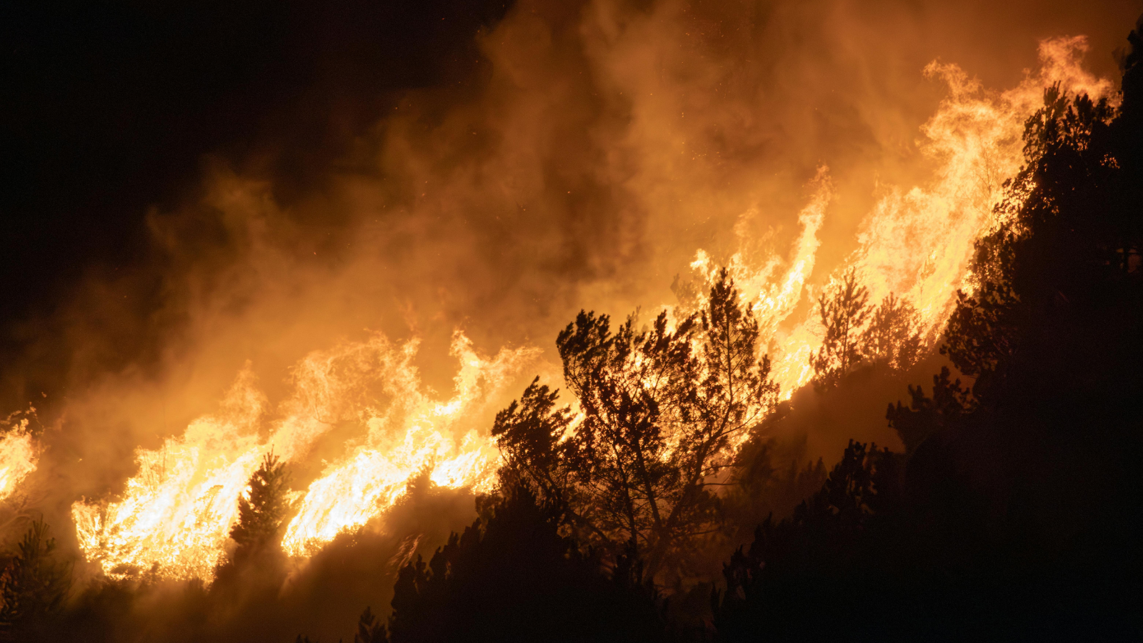
In 2023, four massive floods in the U.S. caused more than $1 billion in damage each. From California to Florida to the Northeast and East Coast, they struck in different seasons and geographies but were united by a common thread: Their intensity defied the expectations of many experts.
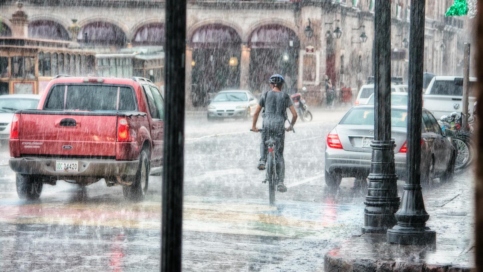
In addition to these billion-dollar catastrophes, the U.S. endured numerous smaller but still destructive floods. Whether the source was surging high tides in coastal communities or relentless atmospheric rivers that overwhelmed storm drains, the floods destroyed homes, disrupted businesses and endangered lives.
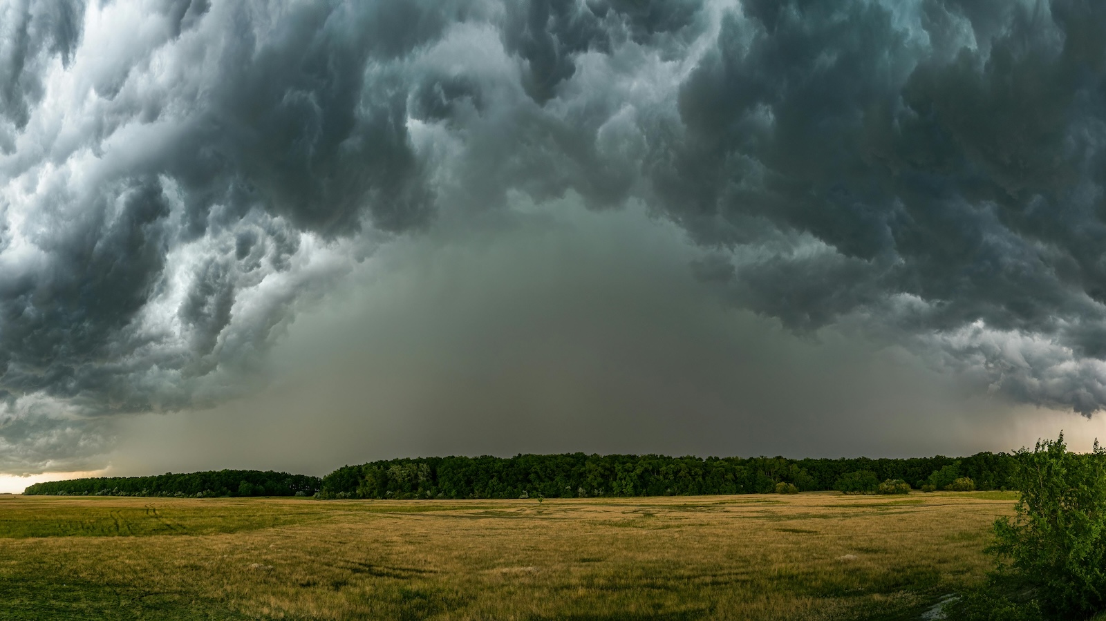
The U.S. isn't alone. Globally, flooding affects more people than any other natural peril. While floods have traditionally been considered secondary perils – the kind that happen relatively frequently but generate modest losses – climate change is super-charging their impact by making them larger, less predictable and costlier, more like primary perils such as Atlantic hurricanes or typhoons.
A major challenge in understanding and preparing for evolving flood threats has been that maps used to assess and quantify flood risk often haven't kept pace with a changing climate. One government assessment concluded that U.S. flood hazard maps, for decades a key resource for communities to set building standards or determine flood insurance premiums for vulnerable properties, "didn't reflect the best available climate science."
See also: AI, Aerial Imagery Can Help Spot Flood Risks
Hazard intensification
As one of the world's largest reinsurers, Swiss Re has long tracked natural catastrophe loss trends, including from floods. While urbanization, population growth and accumulation of assets in exposed regions have historically been main drivers of insured losses, our experts have determined that changing climate will become an increasingly important factor in rising future losses.
And with climate change contributing to intensifying hazards like extreme rainfall or powerful ocean storm surges that harbor potential to cause bigger floods, access to powerful tools to understand these evolving risks is growing more urgent. Simply put, we must get better at predicting what's to come, especially when a warming planet makes the past a less-reliable guide to future threats.
Fortunately, powerful tools are becoming available. For instance, this month, Swiss Re Reinsurance Solutions, our division focused on delivering data-driven risk insights to clients, achieved a milestone when we integrated independently validated, high-resolution U.S. flood maps into CatNet. This is our risk assessment tool that insurers and companies may rely on to analyze exposures to natural catastrophe risks.
These U.S. flood maps were developed by our subsidiary Fathom, the U.K.-based water intelligence company that Swiss Re acquired last year to supply clients with dynamic flood risk assessments. Founded in 2012 by scientists at the U.K.'s University of Bristol, Fathom's hydrologists, software engineers, modelers and geographic information system (GIS) developers have created the most accurate digital terrain model of the U.S., with a resolution of 10 meters per pixel.
See also: Property Underwriting for Extreme Weather
One platform, multiple risk models
Reinforcing modeling resources with maps supports insurers and companies to create more sophisticated climate-driven flood risk scenarios, instead of relying on historical data alone. Multiple flood-risk models on a single platform allows simultaneous comparisons, enabling more comprehensive risk assessments.
Beyond visualising flood risks more accurately, insurers can integrate data into their underwriting models to assess and price risk more confidently. Thus equipped, they can pinpoint and address exposures to vulnerable regions, adjust terms and conditions and exclusions to reflect evolving risks and even identify new, promising geographical areas to pursue growth.
Similarly, U.S. flood maps can help companies determine where their biggest risks will emerge, informing adaptation strategies aimed at avoiding losses today and tomorrow. Communities can leverage mapping technology to better understand how and where to grow, to protect citizens and economies. Fathom already provides flood data via the World Bank to help 16 climate-vulnerable countries future-proof themselves against disaster.
The U.S. suffers the largest absolute annual economic losses from natural catastrophes of any nation. With climate change, it faces increased exposure to rising weather-related losses, including from floods like those in 2023. This January, for instance, San Diego County, California, became the latest place to be declared a federal disaster area after rainfall eclipsed records, damaged hundreds of homes and washed cars away.
While residents described being taken off guard by what some called a 1,000-year storm, climate change actually means such events can no longer be considered anomalies. To prepare and adapt for this new reality, flood maps that keep pace with the forces of a warming world are an essential tool.