This is part 3 in a series.
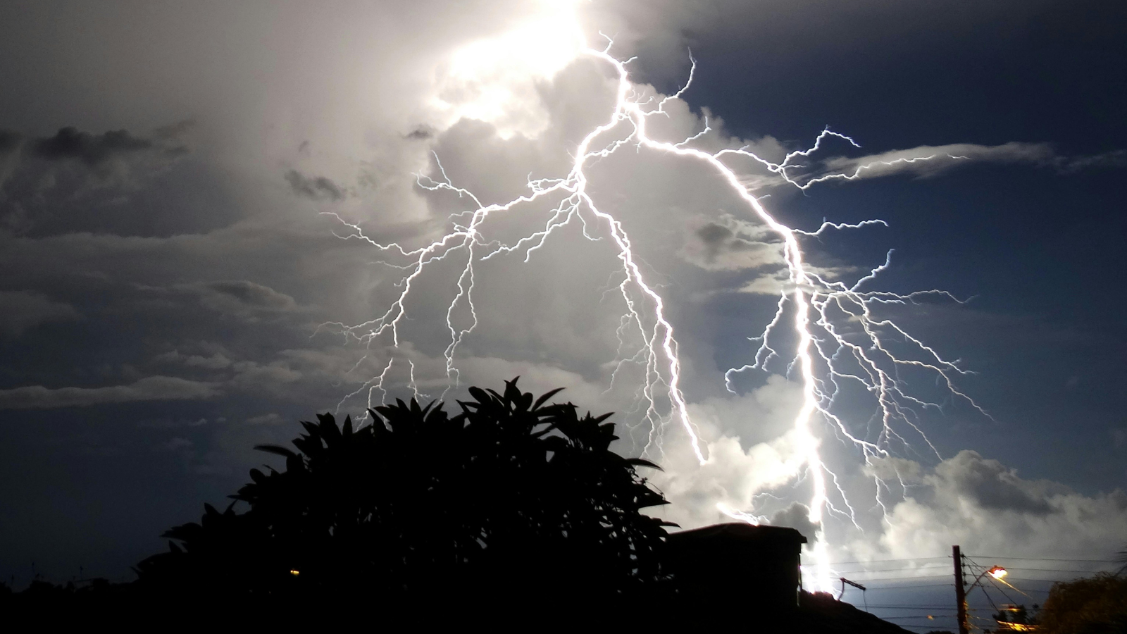
Wildfires, like tornadoes, can leave one property leveled and its neighbor unscathed — jumping houses, neighborhoods and boundaries with seemingly no rhyme or reason. The devastation seen with 2018’s Camp Fire— which consumed everything in its path and leveled the town of Paradise— wasn’t what happened in Malibu with the Woolsey fire, which hopped the Pacific Coast highway. Now, and admittedly not soon enough, innovations in data and analytics are helping carriers be more proactive with their mitigation and event response operations.
Having lived in the San Francisco Bay Area, I’ve seen how utterly devastating wildfires can be to communities. California is running out of space, and people are being forced to live and work in wildland-urban interface (WUI) areas that weren’t originally planned for development. But while there is a logical reason for why wildfire risk is intensifying, seeing the devastation is sobering. I recall driving through areas hit by 2017’s Napa fire and witnessing total losses next to areas that were untouched. This gave me perspective about what it must have been like on the ground during the devastation.
Too many of my coworkers have faced similar experiences — knowing the fear of evacuation and the hope that your house will still be standing. That’s why wildfire risk is a key focus for us here at Insurity.
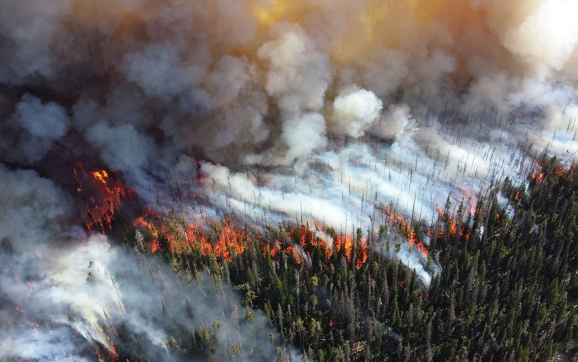
Understanding the potential path of wildfires is crucial, as they can spread incredibly fast. In fact, 2017’s Northern California fires advanced at a rate of more than a football field every three seconds. Yet perimeter data has historically been generated slowly, especially with a lack of publicly available data over weekends. It’s no wonder insurers have always been a step behind with their wildfire event response efforts, and frequently left in the dark during an event, not knowing which insureds have been affected.
Years of devastating losses have caught some insurers by surprise, and established players have suffered. The wildfire peril, traditionally viewed as a secondary risk, is now a primary risk worthy of focused attention and solutions. Now, technology is helping to shape solutions, like improved perimeter data and automated event alerts and analytics.
See also: Wildfire Season: ‘The New Abnormal’?
Up-to-date event perimeter data
Advancements in NASA’s satellite imagery, for example, coupled with geospatial technology are providing insurers with up-to-date event perimeter data. Instead of guessing how a fire has grown and which insureds are affected, carriers can get regular fire boundary updates in the context of their portfolios. But, while data showing burn area and active burn spots is publicly available from sources like NASA and GeoMac, it’s not quick or easy for insurers to operationalize on their own to understand the impact.
By integrating GeoMac and NASA’s Visible Infrared Imaging Radiometer Suite (VIIRS) data with Insurity’s data enrichment and geospatial analytics platform, SpatialKey, insurers get faster perimeter updates while understanding the impact to their portfolios. With the ability to contextualize the data, insurance professionals can visualize exposure, apply buffers and filters, and understand TIV and policy exposed limits.
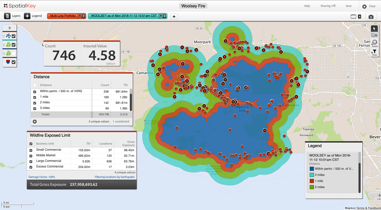
Shown above is NASA fire perimeter data from the Woolsey fire in California. This data has built-in buffers set at one, two and three miles from the perimeter. Insurers can join portfolios to understand which insureds are inside the perimeter and apply buffers and filters to understand TIV and policy exposed limits.
With the severity of wildfire events likely to continue and megafires emerging as a trend, it’s critical for insurers to be able to keep up with these events. Accurate and up-to-date wildfire perimeter data is one way insurers can implement a more timely approach.
Automated event alerts and analysis
While up-to-date perimeter data is critical, it’s still a manual solution that requires insurers to know that an event is happening (or has happened), and then retrieve information to understand impact. But what if the information could be proactively delivered to you instead?
Automated event alerts and analysis will be a game-changer for wildfire event response by ensuring carriers stay in the know regarding events that have affected or may affect their portfolios. Analyses are executed automatically based on an insurer’s latest exposure data, as well as predetermined financial and peril-specific thresholds (meaning, anything hitting an insurer’s inbox has been prescreened and is worthy of immediate attention).
See also: Parametric Solution for Wildfire Risk
Moving from “react and respond” to “prepare and serve”
Using a combination of data and analytics solutions, insurers can monitor and mitigate wildfire risk — finally taking the guesswork out of what’s historically been a fast-moving and elusive risk. Insurance organizations are facing greater scrutiny as wildfire events become increasingly volatile.
How effectively you prepare for and respond to these events can either be an asset or a detriment, and you can take steps toward safeguarding your insureds while moving from "react and respond" to a "prepare and serve" approach.