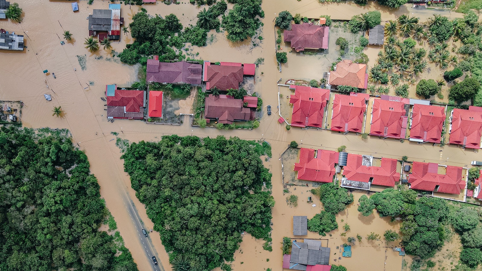
Flooding is a global issue made worse continuously by climate change. Even areas that are seeing increased droughts caused by rising temperatures can see more flood risk because of reduced ground permeability.
Urbanization exacerbates the problem because the vast amounts of concrete used for roads, parking lots and developments greatly reduce permeable surface area, putting drainage infrastructure under significant strain.
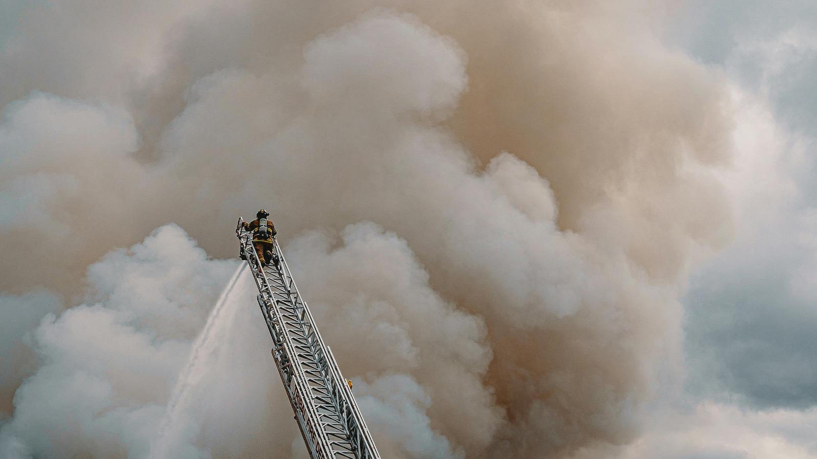
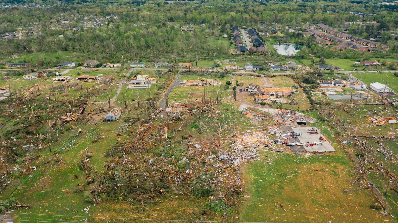
Flooding is one of the most difficult natural disasters when it comes to making damage predictions, and damages are typically very high. Global flood losses reached $20 billion in 2021.
With just one inch of floodwater potentially causing up to $25,000 in damage, flood damages are generally not included in homeowners' insurance plans. Unfortunately, rather than an increase in the number of specialized flood insurance policies, there has been a 9% decline in FEMA policies over the last year from 5 million. This is due to an increase in the cost of insurance premiums for the millions living in potential flood zones, despite FEMA providing what was previously considered the low-cost alternative.
With such significant opt-out rates for FEMA insurance policies, insurance companies are faced with a large number of uninsured potential customers, but they must be able to calculate risk accurately so that some properties can have reduced premiums.
An effective approach is to use AI to extract high-definition 3D property data from aerial imagery.
In the last decade, AI has become vital in the insurance sector. AI models are becoming increasingly effective in analyzing and processing insurance claims, especially in the case of natural catastrophes. 3D modeling of high-resolution aerial imagery gives the insurer rich and accurate data at scale. Visual data can accelerate the process of inspection, underwriting and claims, while simultaneously helping with risk prediction and preparedness. In some cases, due to the speed of automated analysis, it may be possible to identify risks and pre-emptively warn property owners so damage can be avoided entirely.
See also: Top Causes of Business Insurance Loss
Many insurers are using aerial imagery to support the underwriting process, especially when determining the condition of the roof, scanning for any potentially hazardous debris nearby or measuring the elevation of the ground around the property. In this way, they become more efficient, trim costs and are more able to offer affordable flood premiums.
Finding individual images of a specific property and analyzing them in person takes time and can limit the number of properties that can accurately be insured with up-to-date information. Therefore, implementing AI recognition with aerial imagery can significantly reduce the time required to create insurance products and vastly increase the number of properties that can be surveyed. With computer vision and machine learning, insurers can identify risk factors in all the images across a database and automatically categorize properties by their risk level. This is particularly useful given the high number of properties that are insured and reinsured for flood insurance.
With AI taking the industry by storm, new aerial imaging capabilities are constantly being developed in the P&C space, meaning predicting and preventing loss is more accessible than ever. By using 3D property intelligence derived from aerial imagery, insurers can obtain more data points for more commercial and residential properties nationwide – for example by pinpointing impermeable urban areas in flood risk zones. Considering the complexity of the underwriting process, any company that still relies solely on governmental property records instead of using AI-derived property databases is significantly increasing the risk of using outdated information and making incorrect risk management decisions. From a cost-saving and a risk-averse perspective, using AI-derived databases of aerial imagery is one of the best options for insurance companies to stay strong in high-risk markets like flood.
With the steeply increasing environmental pressures, insurers need to better protect their customers, improve business performance and differentiate by adding value beyond product. With the industry experiencing a rapid digital transformation, innovation is now cherished by insurers. Climate change may be outside the industry's control, but failure to respond to climate challenges and subsequent catastrophes like flooding is partly a result of the current insurance model. The solution is clear: The insurance industry needs to keep pace with the digitization of other industries. Additionally, insurance providers should take full advantage of the technologies that enable them to pinpoint complex risks, reducing the number of causalities and inevitably strengthening business performance.